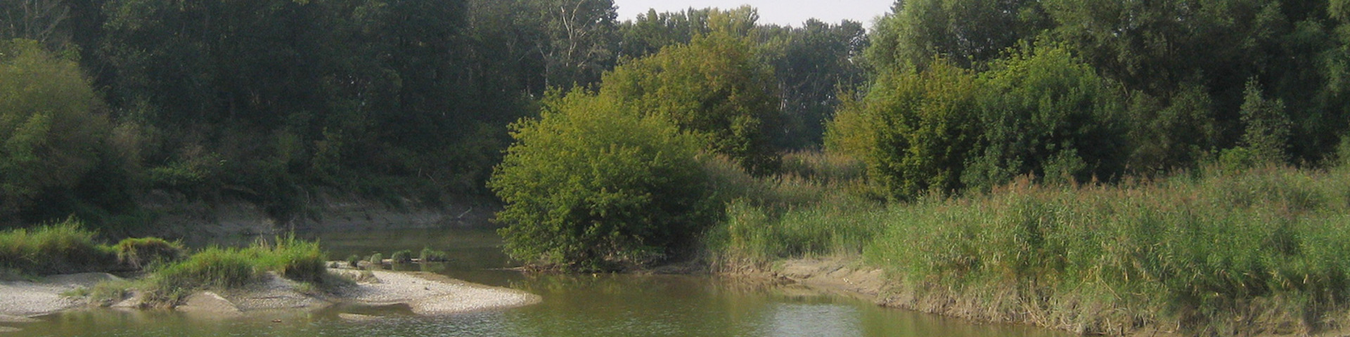


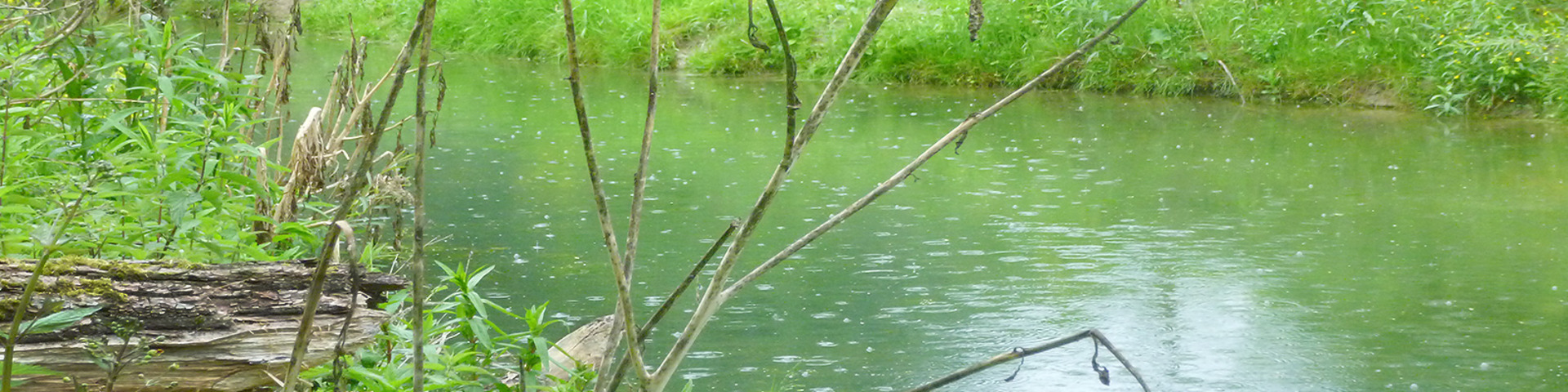
Alluvial areas
River meadows, also called „alluvial areas“ are low lying areas along a river characterized by the change of floods and low water.
These areas are essential for the Rhine ecosystem, but also for man, as They represent valuable nature resources and act as natural flood buffers. They increase water retention and are thus the best means of flood prevention.
Reactivating floodplains (floodplain forests) along the Rhine and reconnecting alluvial waters are two important measures aimed at ecologically upgrading the Rhine.
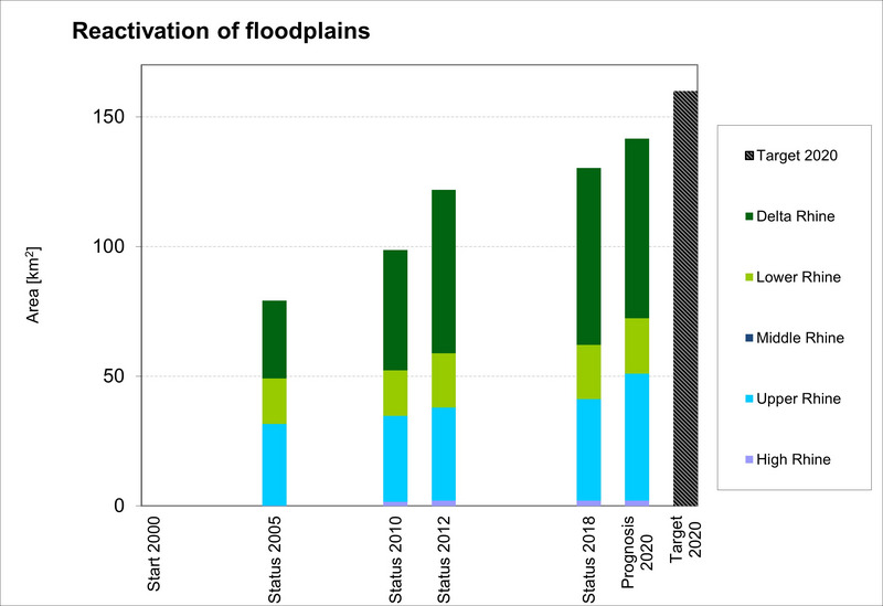
The balance of the ICPR programme "Rhine 2020" shows that by the end of 2018, more than 130 km² of floodplain areas of the Rhine had been reactivated. The target of 160 km² set for 2020 has been steadily approached over the last few years. By the end of 2018, 124 floodplain waters had also been reconnected to the main stream of the Rhine. The target set for 2020 of reconnecting 100 oxbow lakes and tributaries to the Rhine was thus already far exceeded by the end of 2018.
The follow-up programme "Rhine 2040" sets new goals. By 2040, the hydromorphological diversity and expansion of water-dependent habitats close to the river is to be restored by connecting another 200 km² of alluvial areas (= floodplains) as well as 100 oxbows and tributaries to the Rhine.
Bar chart from Balance Rhine 2020