


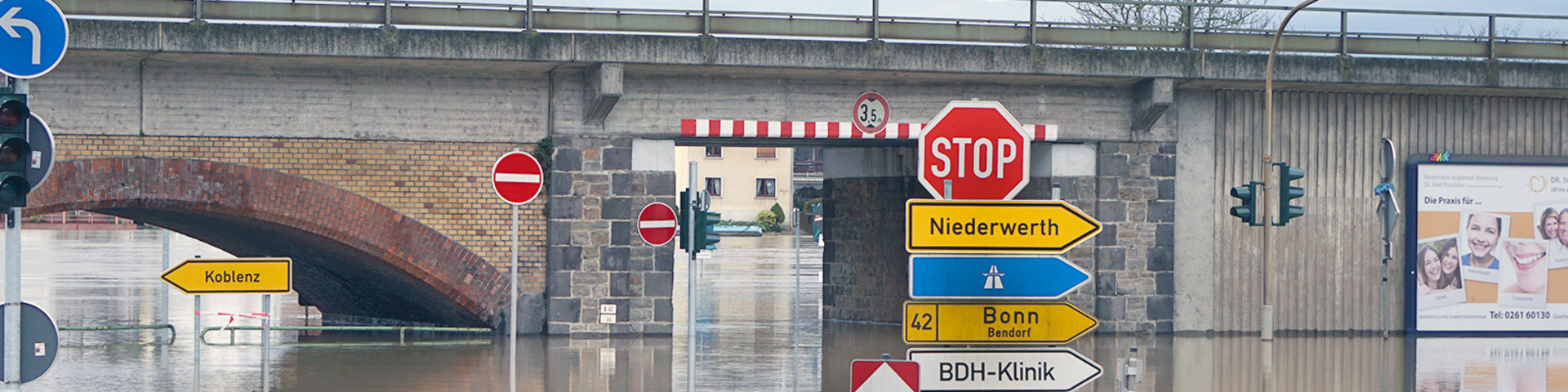
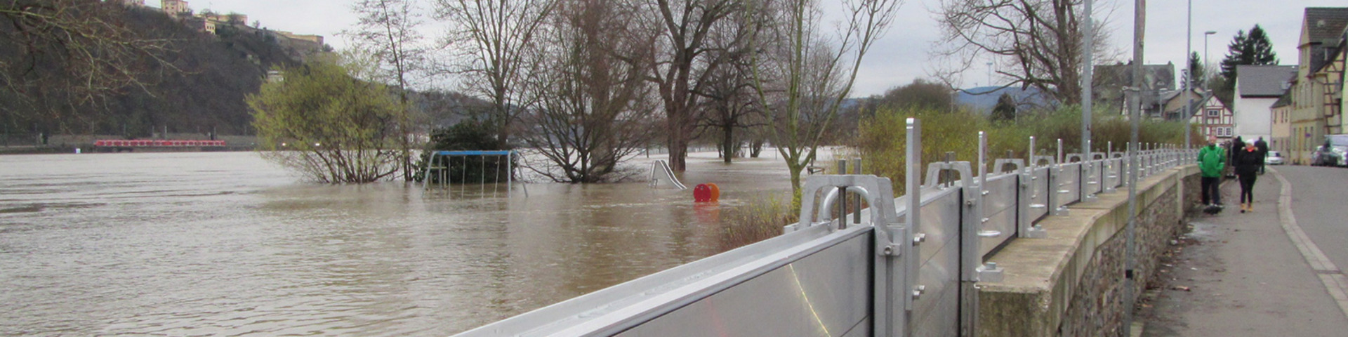
Flood forecasting in the Rhine watershed
The major flood announcement and forecasting centres along the Rhine from Switzerland to the Netherlands are shown on this map.
They are marked with a coloured star. Clicking on the star will display information on the different centres. Clicking on the logo of the administration in charge will connect you with the website of the centre concerned, where you will find up-to-date information and flood forecasting as well as reports on the development of a flood. The information displayed may vary from one centre to the other.
Gauging stations, for which water levels are forecast, are represented as circles. Clicking on the symbol of the gauges will directly display information on water levels measured and on forecast water levels. Information on the development of a flood is only regularly updated if flood risk is imminent.
Remark: The German flood forecasting website now includes forecasts for neighbouring countries. We recommend visiting this page https://www.hochwasserzentralen.de/en/ for a comprehensive, cross-border overview of flood forecasts in the Rhine basin.
