


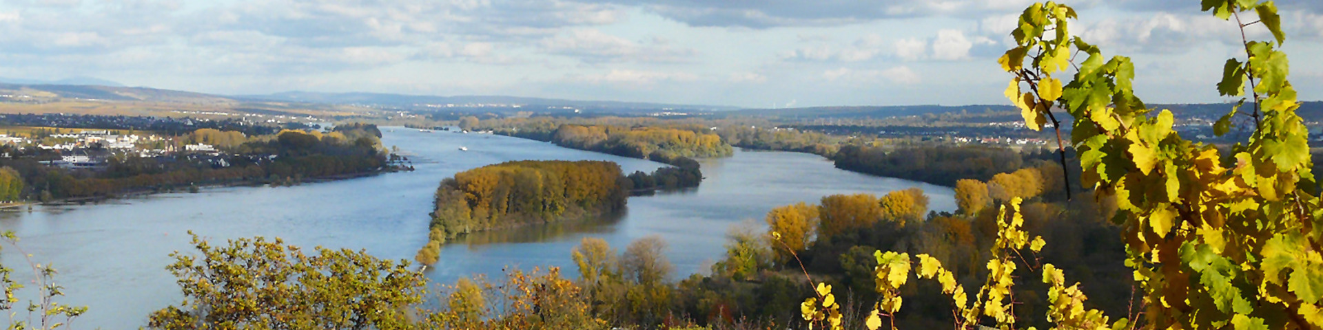
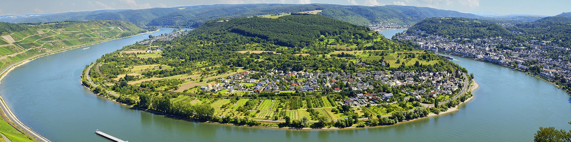
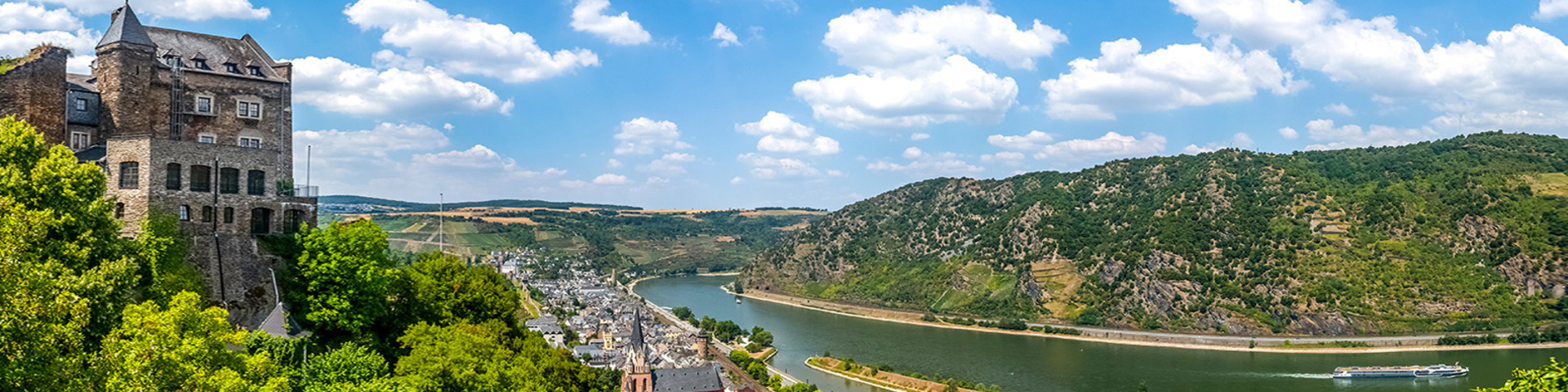
Upper Rhine
The „Upper Rhine“ is the river section between Basel and Bingen. It crosses the lowlands of the Upper Rhine and, from the mouth of the R. Nahe near Bingen, when entering the Rhine Slate Mountains, it continues its course as Middle Rhine. The southern Upper Rhine is known to have a high discharge in the early summer, which is in particular due to snow melt in the Alps. In the 19th and 20th century, corrections of the course of the river heavily modified the landscape of the Upper Rhine. Larger tributaries to the right banks of the Rhine are the Black Forest R. Elz, Kinzig and Murg.
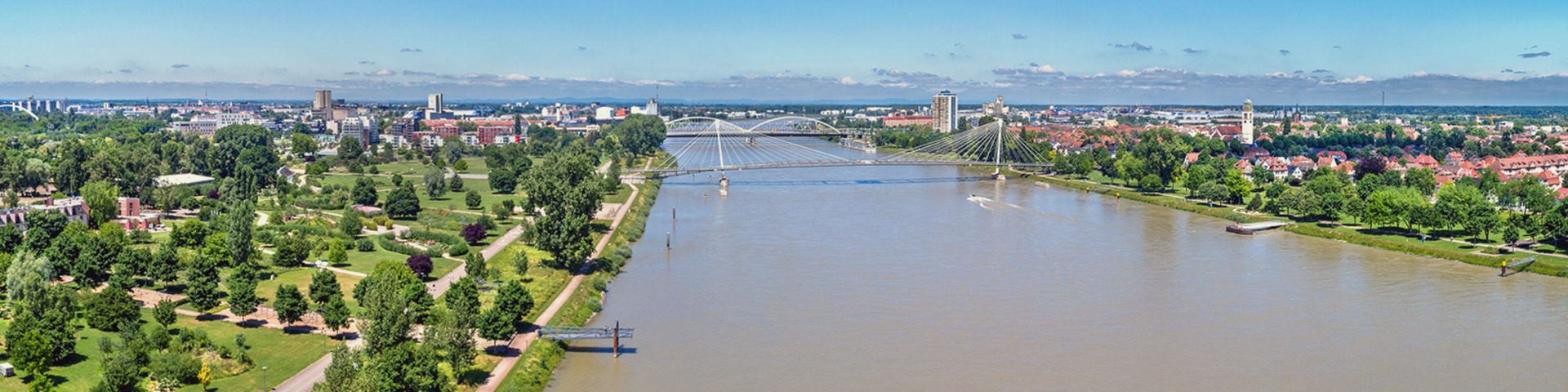
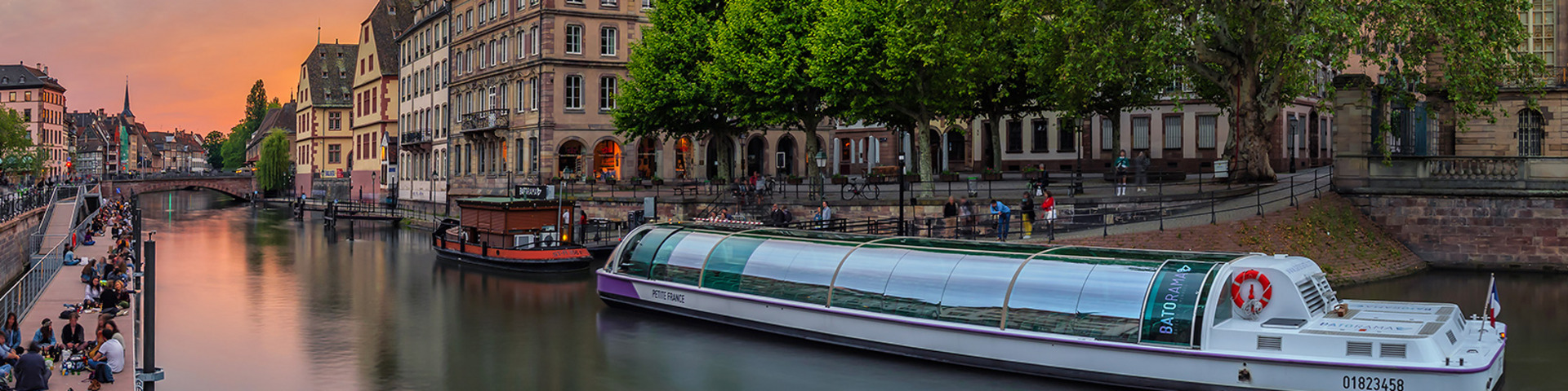
The river Ill is an about 220 km long left bank tributary to the French Upper Rhine with a catchment of 4,760.5 km². It is the largest Rhine tributary in Alsace, flows from south to north and has its source in the southern Alsace. Many important cities such as Strasbourg, Colmar and Mulhouse are located on or near the Ill which flows into the Rhine downstream the Gambsheim barrage, near Strasbourg, at Rhine km 311.3.
In the Ill as well as its tributaries there are important spawning grounds and juvenile habitats for migratory fish such as the salmon, but as yet, not all of them are accessible. Therefore, measures aimed at ecological continuity are an important part of the ICPR Master Plan Migratory Fish Rhine.
external links:
France: http://www.eau2015-rhin-meuse.fr
www.grand-est.developpement-durable.gouv.fr
Baden-Württemberg: http://www.wrrl.baden-wuerttemberg.de
Hessen: http://www.flussgebiete.hessen.de
Rheinland-Pfalz: http://www.wrrl.rlp.de
Did you know ...
that the fish passages at the barrages Iffezheim (since 2000) and Gambsheim (since 2006) are the largest ones in Europe?
Annually, up to 80 000 fish belonging to 32 species use these passages on their way upstream and thus clear the hurdle of 11 meters of difference in altitude. The 300 meters long fish passages consist of a series of 30 concrete basins of about 12 m² each.