


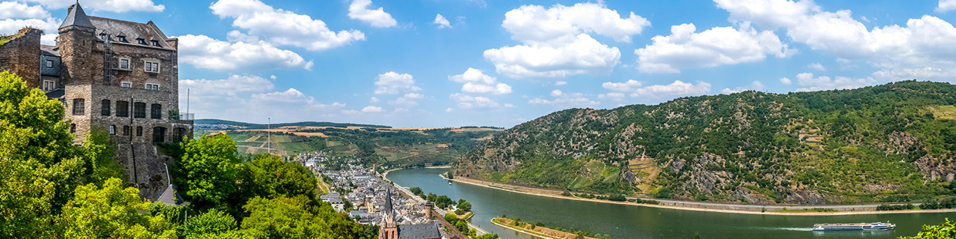
Alp Rhine / Lake Constance
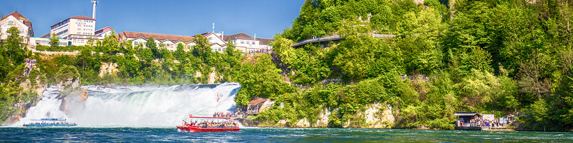
Alpine Rhine
The Vorderrhein rises at an altitude of 2.340 m as torrent from Lake Tomasee in the Swiss canton Graubünden. The source of the Hinterrhein is near the San Bernadino pass in the east. It disappears underground and cuts into the schist of the famous, several hundred meters deep Via Mala (Italian for “evil path“), also called the little “Grand Canyon” along the Rhine. At Reichenau, the Vorder- and Hinterrhein unite to form the Alpine Rhine. It follows the 10 meters wide former glacier valley as far as Lake Constance. In its lower course, the Alpine Rhine forms the border between Switzerland in the west and Liechtenstein and Austria in the east. At Bregenz it flows through an inland delta and into Lake Constance.
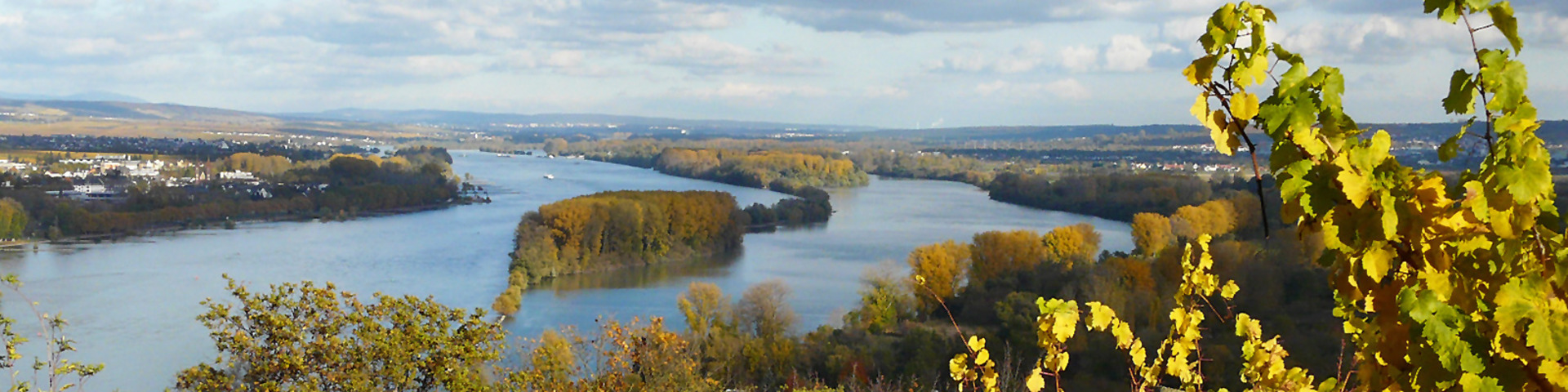
Lake Constance
Lake Constance consists of two parts: the Lake Obersee (with Lake Überlinger See) and the much smaller and shallower Lake Untersee. With a surface of 535 km² Lake Constance is the third largest inland lake of Middle Europe after Lake Geneva and Lake Balaton.
Today, the lake water is of very good quality and is used for drinking water supply. From Lake Obersee, the four kilometres long Seerhein leads into Lake Untersee lying 30 cm below. The beginning of the Seerhein at the old bridge over the Rhine at Constance has been fixed as Rhine kilometre zero.
Did you know ...
That the water table of the Alp Rhine may vary up to one meter per day?
This is due to the operation of the water works, which from time to time pump Rhine water into great water reservoirs, in order to pass it through the turbines and back into the Rhine in times of great need of electricity.
The consequences for animals and plants in the Rhine are negative.
Did you know ...
That, in Lake Constance, there is a “Lower Water Waterfall“? At the water surface it may be recognized due to waves with white crests, the so-called Rheinbrech.