


Water retention
The velocity at which water flows from the mountains to the sea or seeps or is retained by plants, lakes or glaciers has a direct effect on floods.
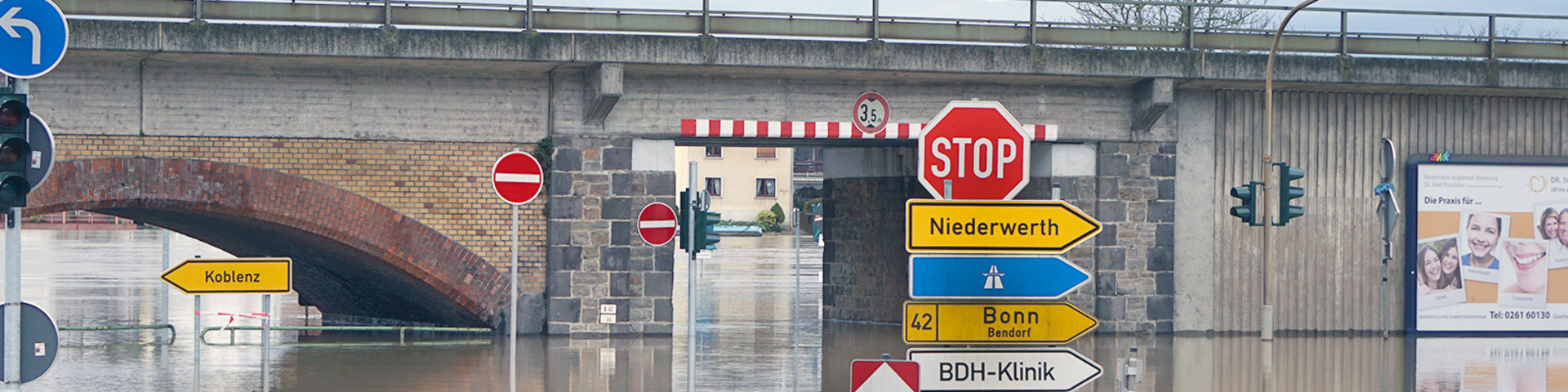
In the watershed of the Rhine, water retention is distinctly reduced by intensive farming and forestry, numerous river training and straightening measures, vast surfaces for settlements and trade. In addition, the Rhine itself has lost more than 85 per cent of its natural overbank area due to river training, straightening and diking.
Thus, the natural floodplain has been reduced to hardly 15 per cent of its original size. Along the Upper Rhine, the discharge section has partly been reduced from a width of about 12 km to some 200 – 250 meters. The course of the Upper Rhine has been shortened by 82 kilometres, that of the Lower Rhine by 23 kilometres.
This has led to a distinct acceleration of the runoff of flood waves and to higher flood crests. Between Basel and Karlsruhe, the travel time of a flood wave has been reduced from 64 to 23 hours.
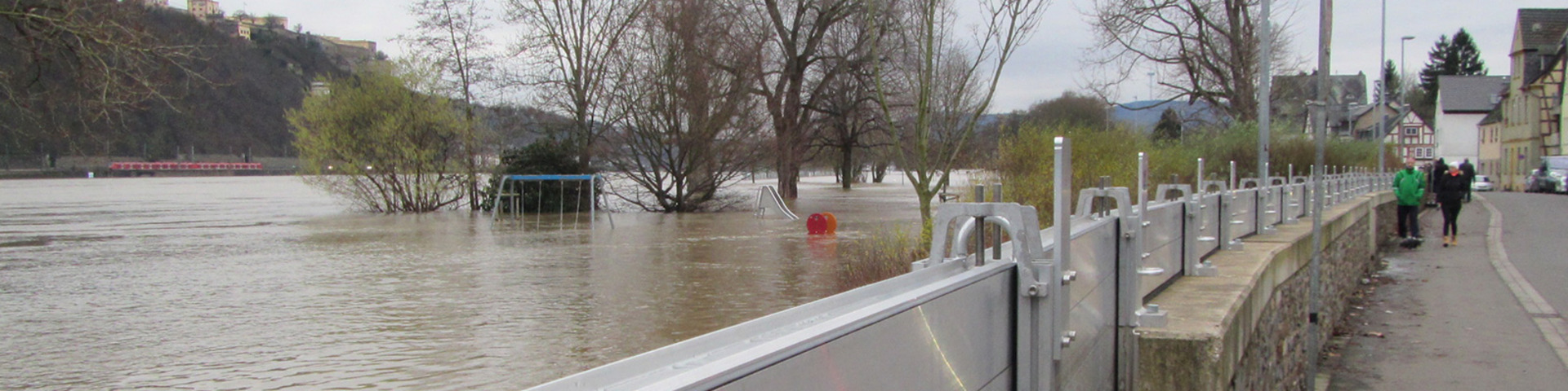
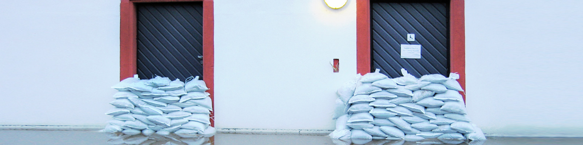
For this reason, one of the main measures taken by the states in the Rhine catchment is to improve water retention by giving more space back to the river where it is still possible. Furthermore, use and construction in floodplains should be restricted or adapted.
Retention and water level reduction were part of the Action Plan on Floods in the past and are now also embedded in the international flood risk management plan and in the programme "Rhine 2040".
The water retention measures along the Rhine can be viewed in the Rhine Atlas.
Further details on the measures can be found here. This table shows the current state of implementation and planning of retention measures along the Rhine (in German).
Did you know ...
that nature protection also means flood protection?
Protection and reactivation of floodplains are a means of improving water retention.